06 September, 2022
Working in the natural environment often presents some interesting challenges, but many minds make light work. “Our complementary skillsets brought remote sensing and marine science together for this project,” says Aislinn Dunne, a Ph.D. candidate under the supervision of Burton Jones at KAUST’s Red Sea Research Center.
“I am studying how coastal habitats, such as coral reefs, seagrass, and mangroves, are connected and how they interact with each other,” explains Dunne. “One aspect of this is how water flows between them, so my advisor suggested that dye could be used to visually trace water movement.”
However, to get a literal bird’s-eye view, Dunne needed a novel way to capture images of the tracer dye, and how it moved in the waters around the coast. Luckily, Earth observation expert Matthew McCabe was on her Ph.D. proposal committee and he had a bright idea.
“Students are required to have a professor from outside their research center on the committee to bring unique perspectives on projects,” says Dunne. “Prof. McCabe suggested that I work with Kasper Johansen, and the team from his research group, to use drones to monitor the movements and concentrations of dye in the water over time.”
While Dunne and her lab colleagues had experience with water sampling and using dyes as tracers, she had never used drones before. Similarly, Johansen’s team had expertise in drone technologies and image capture but had never been involved in dye tracer studies or water sampling.
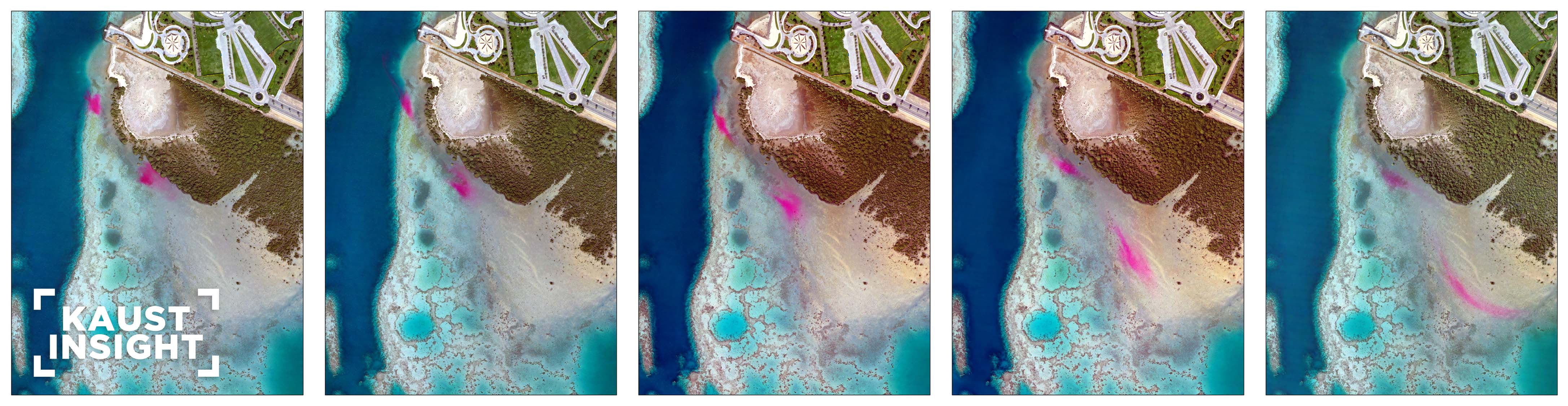
The study was conducted off the Red Sea coast on the KAUST campus, an area rich in diverse marine habitats. The fieldwork involved Dunne releasing bright pink dye in the water and taking water samples. She then measured the concentrations of dye in each sample in the lab so that they could relate the tonal colors of the dye in the drone images to the actual concentrations of the dye in the water.
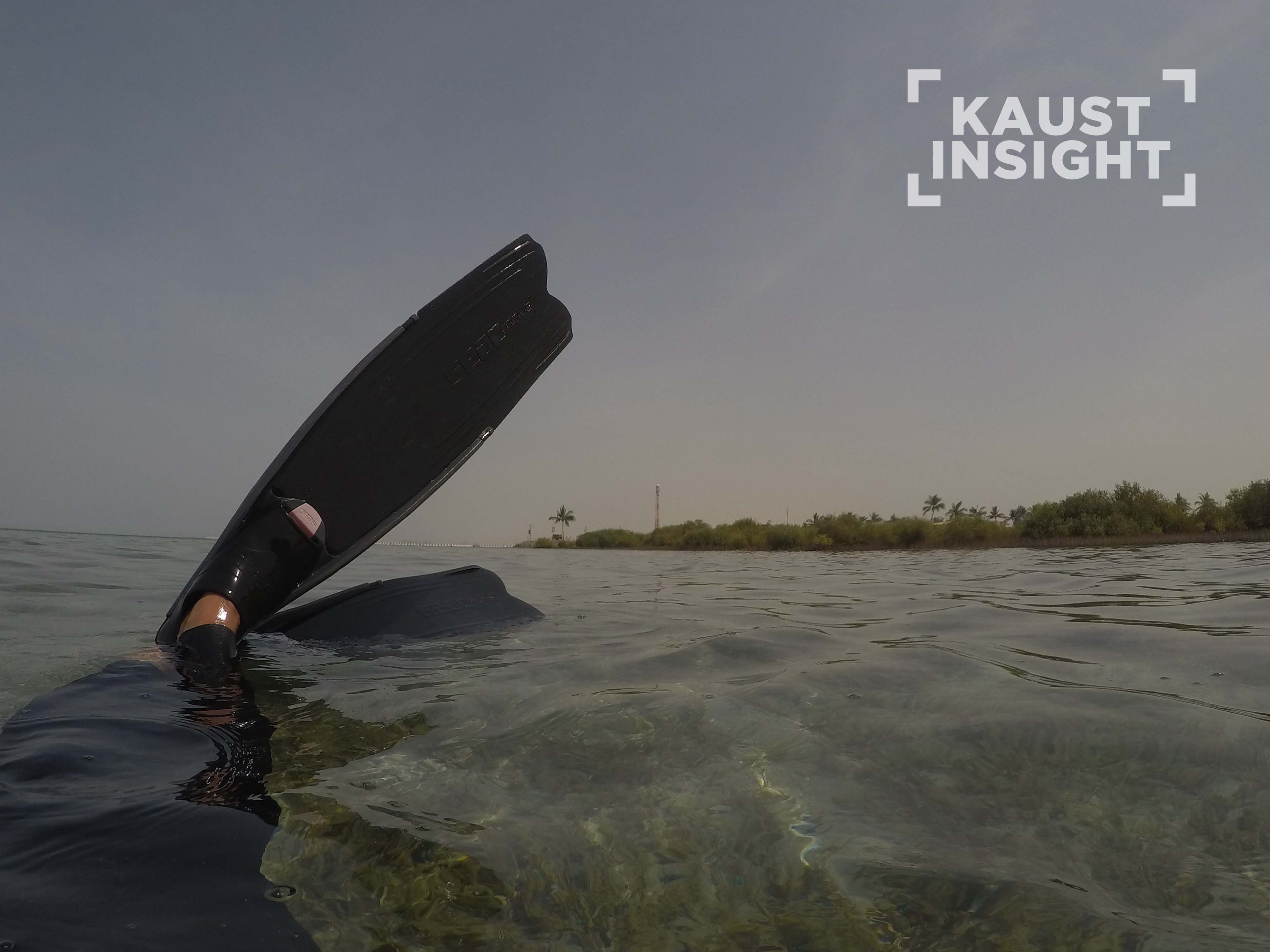
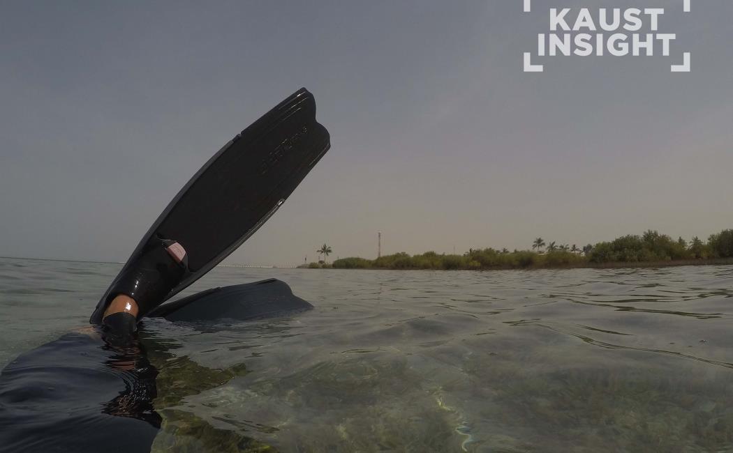
Prior to the experiment, Aislinn Dunne swims around the study area to drop black and white disks in the water as a location reference for the drone pictures. Ⓒ 2022 KAUST; Aislinn Dunne

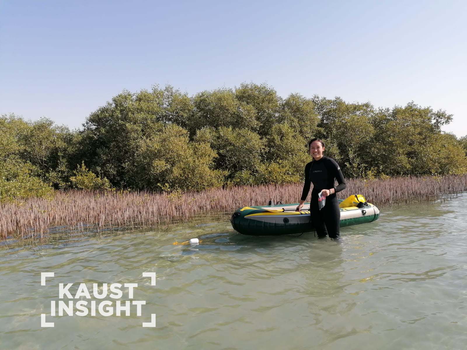
Aislinn Dunne wades into the water using a rubber boat to ferry the dye (the small dark tubes in her hand) and the sampling equipment to the experiment location. Ⓒ 2022 KAUST; Ioana Andreea Ciocanaru
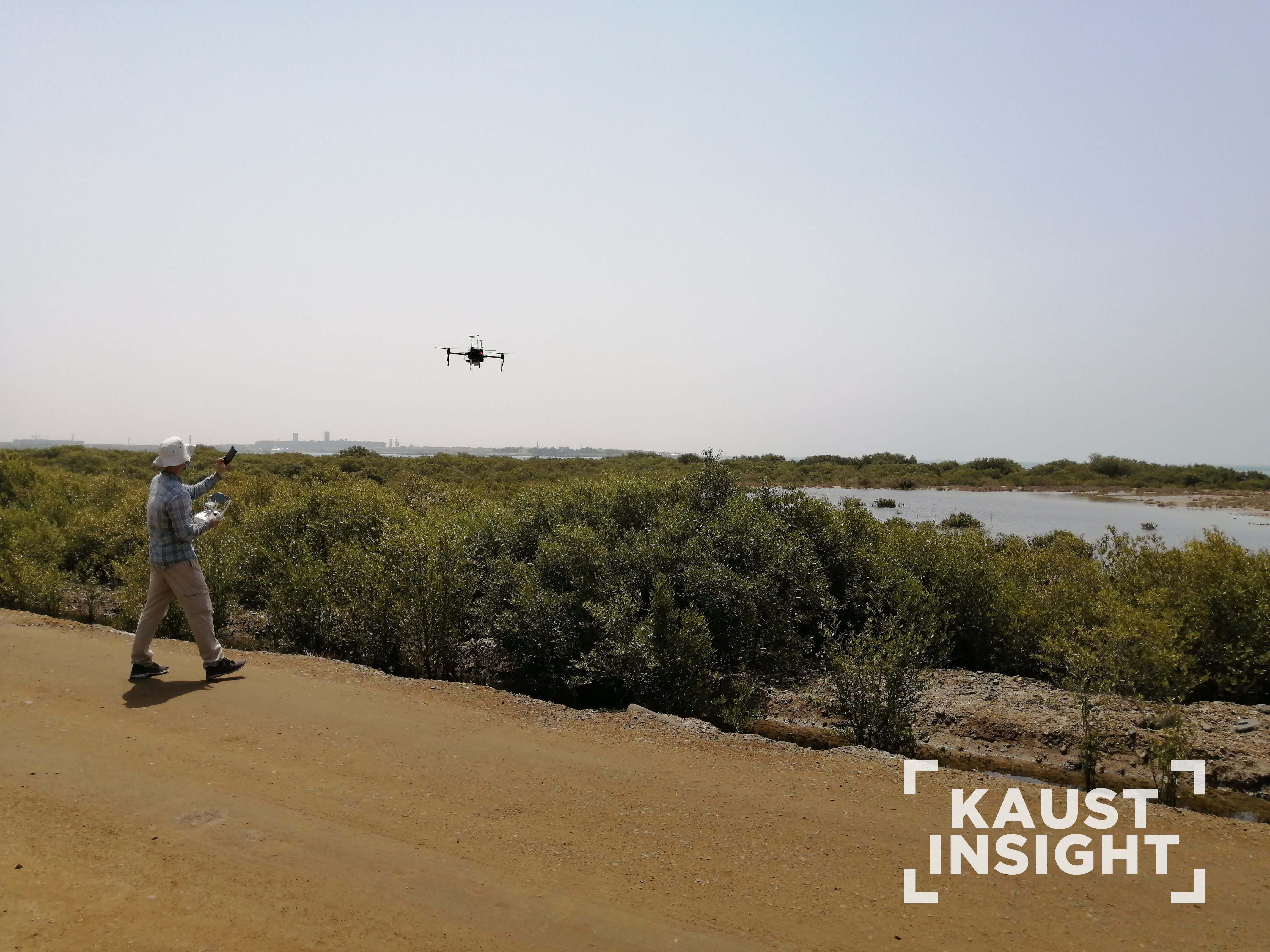
Johansen and his team flew drones at predetermined hovering positions, 400 meters above the dye release sites, for the first 1.5 hours to capture images every 10 seconds. They also collected images during preplanned flight surveys along parallel flight lines (to cover larger areas as the dye spread) over the following 4.5 hours.
“During the final release, the dye spread far quicker than it had on previous runs, meaning that we had to modify our drone flights based on the livestreamed images we were receiving on the ground,” says Johansen. The team also ordered high spatial resolution satellite images to be collected during the tracing experiments.
“they could relate the tonal colors of the dye in the drone images to the actual concentrations of dye in the water.”
With the data collection complete, Johansen worked closely with another team member to process all the drone images, georeference each image and map how the dye plumes moved during the ebbing tide. They produced orthomosaics, hundreds of photos stitched together to produce one large image for each flight survey of the study area. Johansen then developed a method to predict dye concentration from the drone and satellite images based on the field measurements of dye concentration that Dunne had collected.
.jpg?sfvrsn=f7b61115_1)
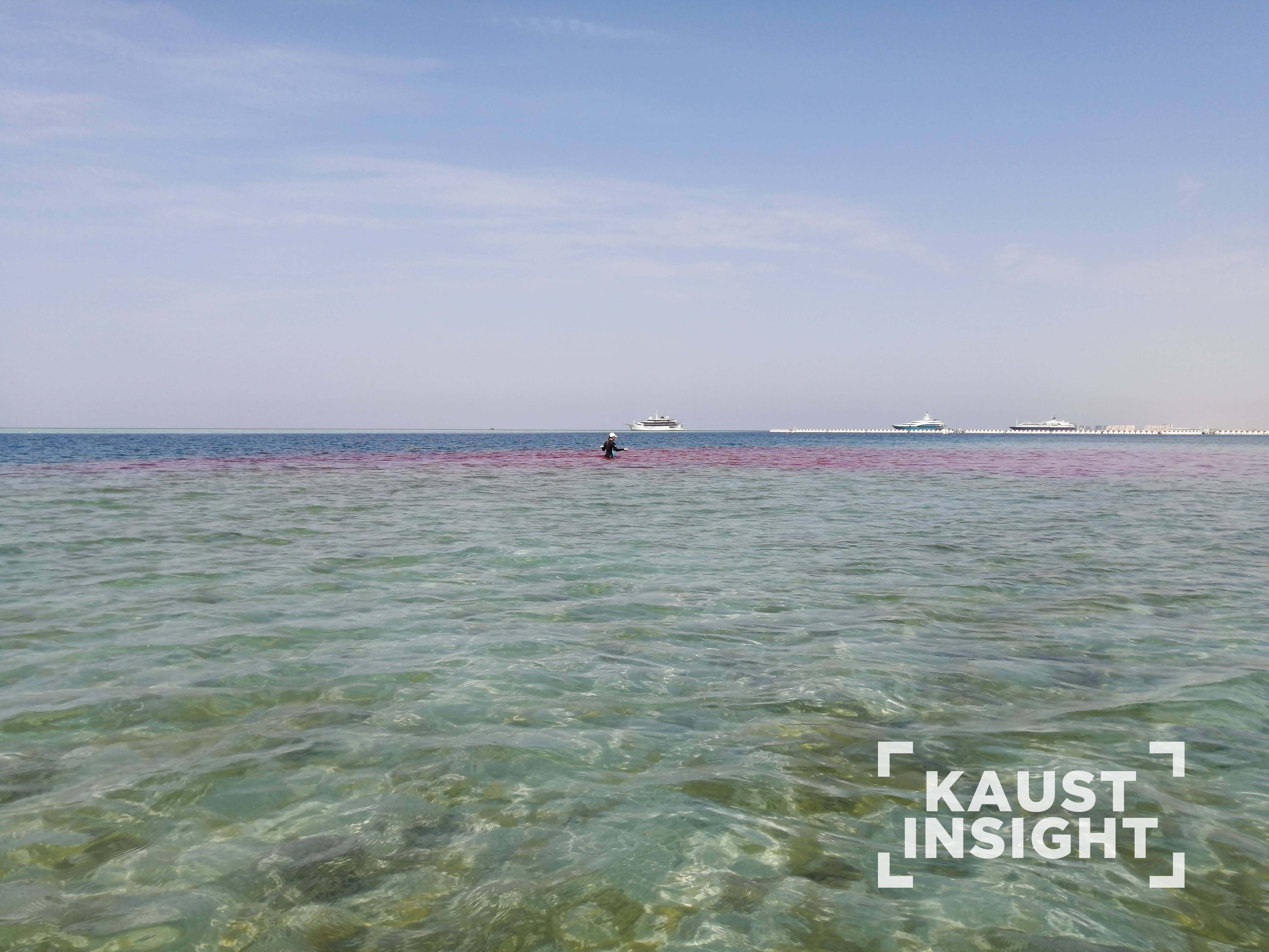
The experiment starts when the team members drop the dye into the water. Ⓒ 2022 KAUST; Aislinn Dunne
.jpg?sfvrsn=8d84d020_1)
Meanwhile, Kasper Johansen and his team fly the drone: they take pictures to monitor the movement of the dye. Ⓒ 2022 KAUST; Aislinn Dunne
This unique collaboration has already resulted in two research publications, one with a focus on dye tracing with drones and another on tracing using subdaily satellite imagery. Dunne will use all the data collected for her Ph.D. project.
“I was very grateful to work closely with the McCabe’s group for this part of my Ph.D.,” says Dunne. “KAUST is very encouraging of collaborations and actively helps early-career researchers like me to work with people who can complement your skills and interests.”
“Our research group is always happy to support those who require ‘a view from above’ to monitor field experiments, or to scale up field measurements to cover a whole field site,” says Johansen. “In return, we get valuable measurements that can be used for our mapping-based research. Everyone wins.”